Image not available
Paradiski La Plagne + Frame
- Customer reviews
- Rating: 3 out of 5 1 reviews on this product
Earliest delivery 2025-04-30T08:29:00+02:00
Description
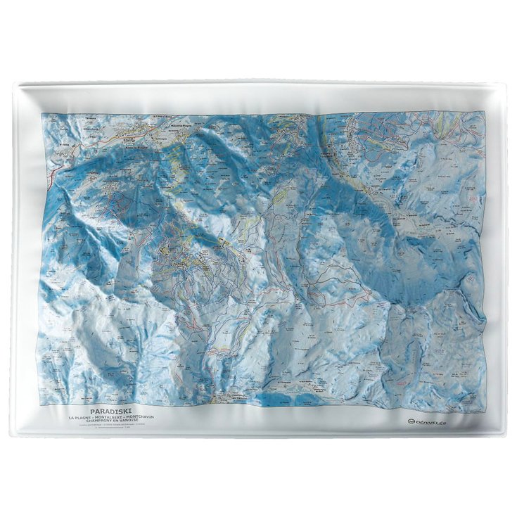
The Dénivelés Paradiski La Plagne 3D map offers a detailed and accurate representation of the famous ski resort. This mapping tool stands out for its ability to provide a three-dimensional visualization of pistes, lifts and other points of interest. Designed for winter sports enthusiasts and cartography buffs alike, this map is an excellent way to plan your days in the mountains, or to keep an aesthetic souvenir of your stay in this exceptional ski area. The scale used makes it easy to read and appreciate the region's specifications in terms of vertical drop.
Characteristics of the Paradiski La Plagne vertical drop:
- Locations: La Plagne, Montalbert, Montchavin, Champagny en Vanoise
- Lifts
- Trails
- Altitude restaurants
- Quartiers, buildings, chalets, refuges
- Scale: 1/30000
- Height: 9 cm
- Compatible with 50 x 70 cm frame (not included)
This description is an automatic translation. Please contact us if you have any further questions.

Alexis
Accessory expert
"Some look for functionality, others for style or performance. Whatever it is, we'll find it together and make sure we add the safety dimension to it! Call me on 020 3129 3301."
Technical data Raised-relief map Paradiski La Plagne
-
Gender
MenWomen -
EAN code
3760357080182 -
Reference nr
DENI0942815 -
SKU
CF73-PLG-H -
Destination
France -
Activity
SkiTouring skiSnowboard


